GAP
Great Allegheny Passage

Pittsburghto Cumberland.


The trail that started it all for us. We've shuttled GAP riders' bags since 2012 — 150 miles of crushed limestone through three states, river towns, and the Allegheny Mountains.

Book the GAP Trail Info
Pittsburgh skyline at the start of the Great Allegheny Passage
150Miles
The Trail

A rail-trail throughthree states.

The Great Allegheny Passage runs 150 miles between Pittsburgh, PA and Cumberland, MD on a continuous, mostly flat surface. At Cumberland it meets the C&O Canal Towpath — together, they form a 335-mile continuous off-road route from Pittsburgh to Washington, D.C.

From Confluence to Ohiopyle to the Big Savage Tunnel, the GAP is the kind of ride that earns its reputation one trail town at a time. We've been moving bags between those towns for over a decade.

150
Total Miles
2012
Service Began
3
States
100%
Off-Road
GAP and C&O trail map — Pittsburgh to Washington, D.C.
Some Trail Towns We Serve

Every stop, every lodging.

MILE 0

Pittsburgh

Point State Park

MILE 28

West Newton

Mon River

MILE 35

Smithton

Riverside Hamlet

MILE 45

Perryopolis

Yough Crossroads

MILE 60

Connellsville

Yough River

MILE 73

Ohiopyle

Falls & Gorges

MILE 84

Confluence

Three Rivers

MILE 102

Rockwood

Casselman Valley

MILE 120

Meyersdale

Salisbury Viaduct

MILE 127

Big Savage

3,295 ft Tunnel

MILE 134

Frostburg

Mountain Top

MILE 150

Cumberland

C&O Junction

Why Riders Love It

A trail with character.

Crushed Limestone

Smooth, hard-packed surface the entire way. Hybrid bikes, gravel bikes, and even most road bikes handle it well.

Gentle Grades

Maximum 1.75% grade — built for trains, not climbers. The ride from Pittsburgh to Cumberland gains under 2,000 feet over 150 miles.

Trail Towns

Confluence, Ohiopyle, Rockwood, Meyersdale, Frostburg — small mountain towns with good food, comfortable beds, and warm welcomes.

Bridges & Tunnels

The 3,295-ft Big Savage Tunnel, the Salisbury Viaduct, and the Pinkerton Tunnel — engineering marvels of the old Western Maryland line, now part of every ride.
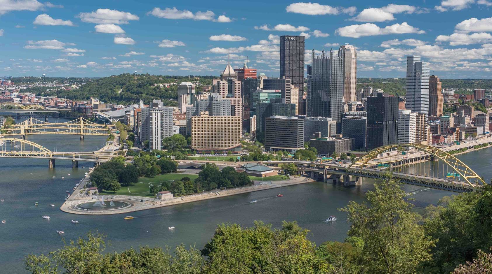
Three Rivers

The Monongahela, the Youghiogheny, and the Casselman — the trail follows water nearly the whole way, threading river towns and Pennsylvania forest.

Eastern Continental Divide

At mile 124 you cross the divide between the Gulf of Mexico and Chesapeake Bay watersheds — the highest point of the trail before the long roll into Cumberland.

"Three rivers, two states, a continental divide, and a 3,295-foot tunnel — the GAP earns every mile of its reputation."
— Why we've shuttled it since 2012
Riding Through to D.C.?

The GAP doesn't have to end at Cumberland.

At Cumberland the GAP joins the C&O Canal Towpath — 184.5 more miles to the Capitol. We shuttle the whole route, end to end.

See the C&O Towpath
GAP
Plan Your Ride

Book your GAP shuttle.

Tell us your dates, lodgings, and bag count. Custom quote back to you fast.

Book the GAP